
Geo Data Server
Rapidly Serve GIS Vector Data, PostGIS Tables, and Cached Map Tiles as Standard Mapping Services
The Geoservices REST API Featureserver & OGC API Features Are Both REST Apis That Can Enable Query Searchable Endpoint That Returns Html, JSON And Geojson. This Can Be For Both Display Of Geospatial Data Or Just Searching Of Data.
Rapidly Serve GPKG GeoPackage Vector FeaturesVector TilesRaster Tiles

Supporting ESRI ArcGIS Maps SDK For .NET Or QT For Serving Data And Using Basic Subscription Instead Of Standard For Offline Data

TAK Clients (WebTAK, iTAK, ATAK, WINTAK, TAK Tracker, MCH, Other Apps)

Game Engine Compatibility (NVIDIA Omniverse, Unity, Unreal Engine) ESRI Arcgis,Cesium & Others
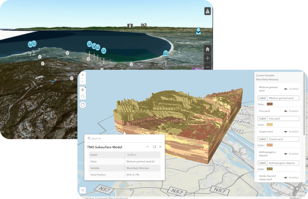
Serves Vector Local GIS Vector Data
from (ESRI Shapefile, GeoJSON, KML,GPKG Vector features and PostGIS /PostgreSQL Database tables) as:
-
Dynamic Vector Tiles
-
GeoServices REST API FeatureServer
-
OGC API Features
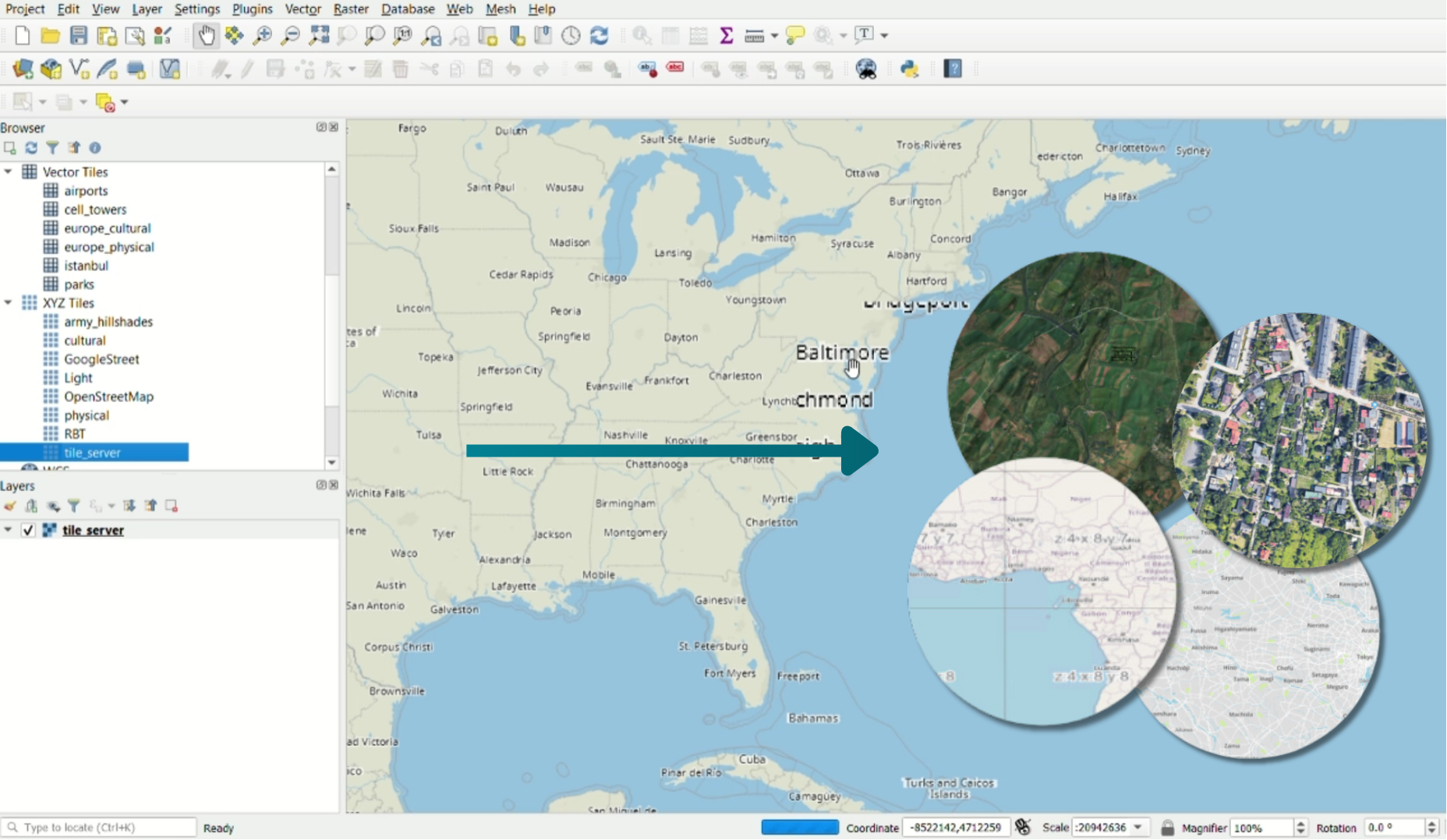
Serves Cached Map Tile
from MBTILES and GPKG
-
OGC API Tiles /XYZ Raster Tiles (PNG, JPG, WebP)
-
OGC API Tiles /XYZ Vector Tiles (MVT/PBF)
-
OGC WMTS with getcapabilities.xml
-
OSGEO TMS with tileset.xml
Acts as Data Distribution Edge Server
-
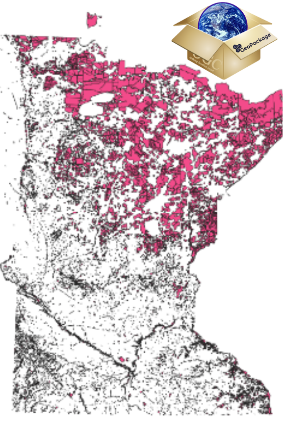
Distribute source cached map tiles GPKG and MBTILES
-
Distribute source vector data (GPKG, SHP, KML, GeoJSON)
100% Compatible with OGC and ESRI
Unlock Powerful GeoServices: REST API FeatureServer and Dynamic PBF Vector Tile Server
GPKG – Geopackage Sqlite Vector Features
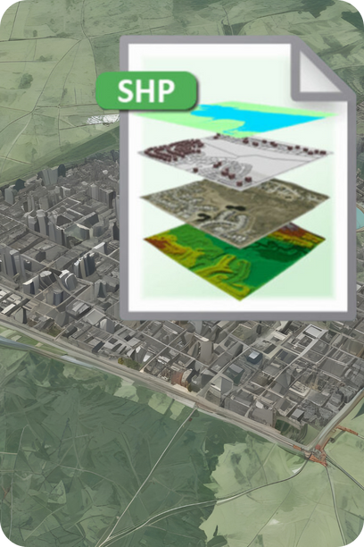
ESRI Shapefile (SHP)
Postgis/Postgresql Database Tables
Via the FDW – Foreign Data Wrapper
GeoJSON,CSV
Rapidly Discover & Share the URL’s
-
Discover Web Page and Services JSON and QR Codes
-
Setup application to monitor a folder and automatically load data
It also includes an advanced map viewer for rapidly standing up a common operating picture accessible to any device on that same network that rapidly lets you connect to the data being served.
The map also has many tools and widgets and allows the user to quickly mash up their other local data and online internet mapping services. The map also supports catalog loading “JSON” files to import with a catalog generator webpage building.
The mapping services can be added to existing mapping applications like ArcGIS Pro, ArcMap, QGIS Desktop, Manifold, Global Mapper, MapInfo, or other web applications or mobile mapping apps.
This application works in ad hoc environments, a mobile emergency operation center, or an edge computing environment.
For Raster Endpoints pair with Vector to Raster Tiles (produces cached folder of tiles or mbtiles) or Dynamic Map Rendering Engine (delivers raster map tiles OGC API Tiles/XYZ, OGC WMTS and OGC WMS)
Purchase includes one install If you are interested in a License Key valid for Multiple installs or Multiple Apps
please contact us →
Delivers GeoServices REST API FeatureServer and dynamic PBF VectorTileServer URL’s
Sources accepted:
GeoJSON
CSV
GPKG -SQLite Vector Features
ESRI Shapefile (SHP)
PostGIS/PostgreSQL Database tables
Integration Points:
Use Geo Data Server with PostgreSQL’s Foreign Data Wrapper (FDW) and https://wiki.postgresql.org/wiki/Foreign_data_wrappers ( you can connect to other databases and data warehouses including MySQL, MS SQL Server, Oracle, DB2, ClickHouse, CouchDB, MongoDB, SQLite, ODBC and JDBC Drivers to connect to other systems https://github.com/pgspider/jdbc_fdw or github.com/heimir-sverrisson/jdbc2_fdw and even GDAL/OGR drivers and files like GeoParquet, JSON, CSV/TSV
Pair with Vector Tiles 2 Raster Tile app building raster tiles for cached area of interest if you have applications/mapping client that does not support vector tiles. Or dynamic map tiles and WMS via Map Rendering Engine

Vector Tiles To Raster

Vector Tiles To Raster

Map Rendering Engine

